
Appearance
Searching for Datasets
Geo Data Connector includes a dataset search capability that lets you find geospatial datasets by keyword across thousands of indexed data sources. This is useful when you know what kind of data you need but don't have a specific service URL.
Note: Search results include datasets from public data sources. Data sources that require credentials are not included in search results. To access an authenticated data source, configure authentication on a saved connection (see Managing Connections) and connect from there.
Starting a Search
From the home page, type a search term into the input field and click Search. The button label automatically changes from "Explore" to "Search" when the input is text rather than a URL.
- Search queries must be at least 2 characters
- Use descriptive keywords like "geology Finland", "soil maps", or "elevation data Europe"
- If the Connector detects a geographic reference in your query (e.g., a country or region name), it automatically uses spatial context to improve relevance — this is indicated below the results table
Search Results
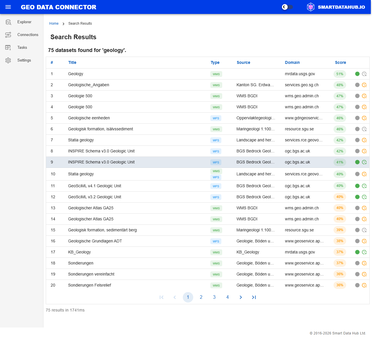
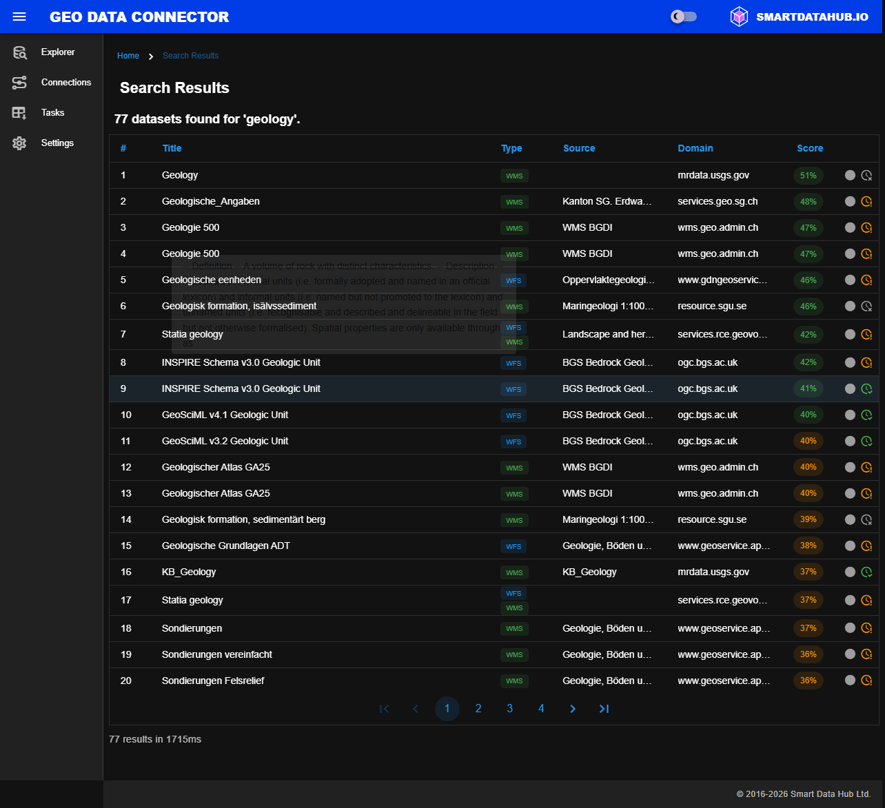
Search results for a sample query
The results table shows matching datasets with the following columns:
| Column | Description |
|---|---|
| # | Result number |
| Title | Dataset title. Hover to see the full description. |
| Type | Service type shown as a colored chip (e.g., WFS, WMS, WMTS, WCS, OGC API Features, OGC API Maps, OGC API Tiles, OGC API Coverages). Datasets available through multiple service types show multiple chips. |
| Source | The organization or data provider that publishes the dataset. |
| Health | Connectivity status of the data source that serves this dataset, shown as a colored dot (green, orange, red, or gray). See Service Health Indicators for details. |
| Score | Relevance score as a percentage. Green indicates high relevance, orange moderate, and grey low. |
| Freshness | How recently the dataset was indexed. A green icon indicates recent indexing, orange indicates aging, and grey indicates stale or unknown. |
Results are paginated with 20 results per page. Use the pagination controls at the bottom of the table to navigate between pages.
A summary below the table shows the total number of results and the query execution time. If the Connector detected a geographic region in your query, this is also indicated.
Navigating to a Dataset
Click anywhere on a result row to navigate to the dataset's details page. The Connector will connect to the source service and load the dataset information, which may take a moment depending on the data source.
If a dataset is available through multiple service types (e.g., both WFS and WMS), click on a specific type chip to navigate directly to that service variant.
From the dataset details page, you can explore the schema, preview the geographic extent, and enable ingestion — the same workflow as when discovering datasets by URL.