
Appearance
Step 3: Open a Dataset
The Dataset Details page shows everything Geo Data Connector knows about a single dataset before you subscribe to it. Review this information to confirm the dataset is what you need.
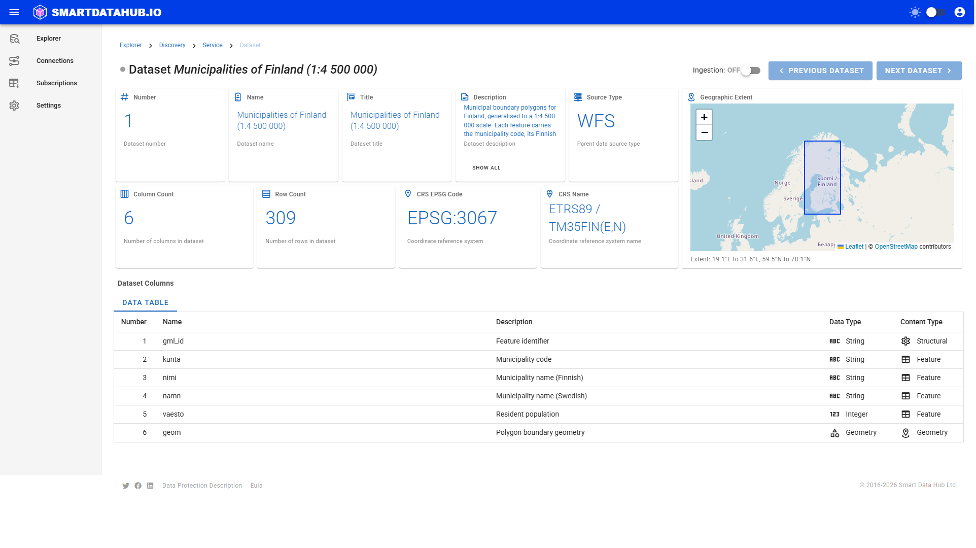
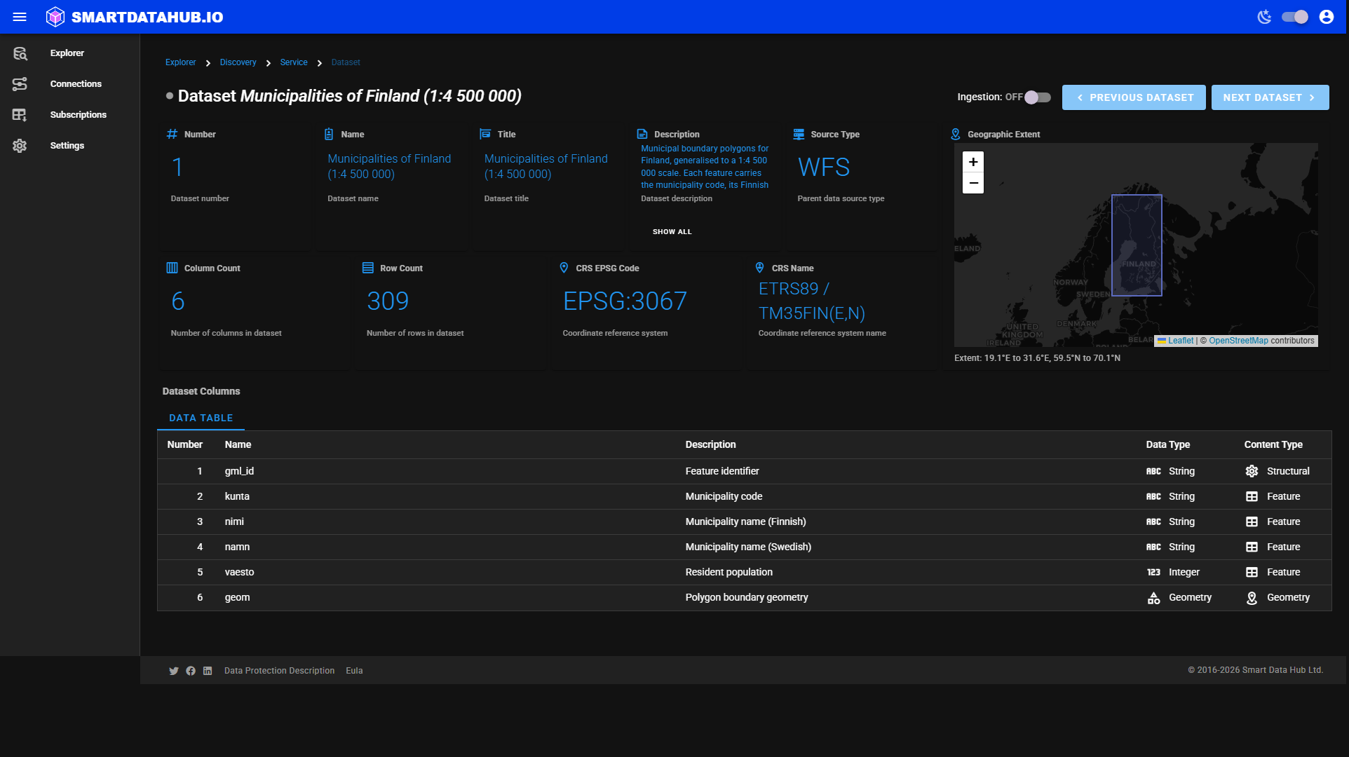 Dataset Details — metadata cards on the left, geographic extent map on the right.
What you see
Metadata cards
The top section displays two rows of cards:
Row 1 — Identity
| Card | What it shows |
|---|---|
| Number | The dataset's position within its data source |
| Name | The dataset's technical name as reported by the source |
| Title | The dataset's human-readable title |
| Description | A description of the dataset's content |
| Source Type | The type of data service (WFS, WCS, OGC API Features, etc.) |
Row 2 — Schema
| Card | What it shows |
|---|---|
| Column Count | Number of columns in the dataset |
| Row Count | Number of rows (may be estimated — shown as ~N if estimated) |
| CRS EPSG Code | The coordinate reference system identifier |
| CRS Name | The coordinate reference system name |
Long values are truncated in the card. Click Show All beneath any card to expand it.
Geographic extent map
The right column shows a map previewing the geographic area covered by the dataset. If the data source does not report a geographic extent, a "Geographic extent not available" placeholder is shown instead.
Dataset columns
Below the metadata cards, a table lists every column in the dataset with its name, description, data type, and content type (geometry, geography, feature, or structural). If the dataset has image properties, a second tab shows those separately.
If the column schema could not be resolved from the data source, an information notice appears. Retrieval may still be possible even when the column schema is unavailable.
Navigating between datasets
Use the Previous dataset and Next dataset buttons (top right) to move through the datasets in the current data source without returning to the data source listing.
Checking ingestibility
Some datasets cannot be retrieved — for example, because the source does not support the data access method Geo Data Connector requires. When this is the case, the header shows Not available for retrieval with a note explaining why. You cannot subscribe to these datasets.