
Appearance
Application Overview
What Geo Data Connector does
Geo Data Connector is a web application for discovering and retrieving geospatial data from open standards-based data services. You find the dataset you need, subscribe to it, and download the resulting files to use in any analysis tool or data platform.
Geo Data Connector does not store or host data. It retrieves data from third-party services on your behalf and makes the results available for download. The data lives in those services; Geo Data Connector provides a unified interface to find, retrieve, and access it.
Supported data source types
Geo Data Connector connects to services that implement open geospatial standards. The following service types are supported:
| Type | Full name | What it provides |
|---|---|---|
| WFS | Web Feature Service | Vector features: points, lines, polygons |
| WMS | Web Map Service | Rendered map images |
| WCS | Web Coverage Service | Raster data: satellite imagery, elevation models |
| WMTS | Web Map Tile Service | Pre-rendered map tiles |
| WPS | Web Processing Service | Server-side geospatial processing |
| CSW | Catalogue Service for the Web | Metadata catalogues — used for discovery |
| OGC API Features | OGC API — Features | Modern REST-based feature access |
| OGC API Maps | OGC API — Maps | Modern REST-based map image access |
| OGC API Tiles | OGC API — Tiles | Modern REST-based tile access |
| OGC API Coverages | OGC API — Coverages | Modern REST-based coverage access |
Most datasets available for retrieval come from WFS and OGC API Features services, which expose structured vector data. Other service types may be browsable but not all datasets are available for retrieval, depending on the service configuration.
Key screens
Home
The entry point. Enter a keyword to search for datasets, or enter a service URL to explore a specific data service. The home screen also includes short guides on OGC services, how to find data sources, and example CSW catalogue URLs to get started quickly.
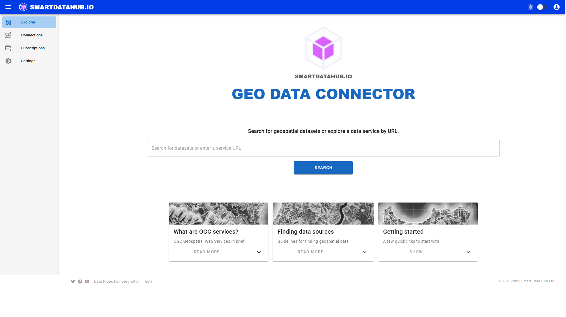
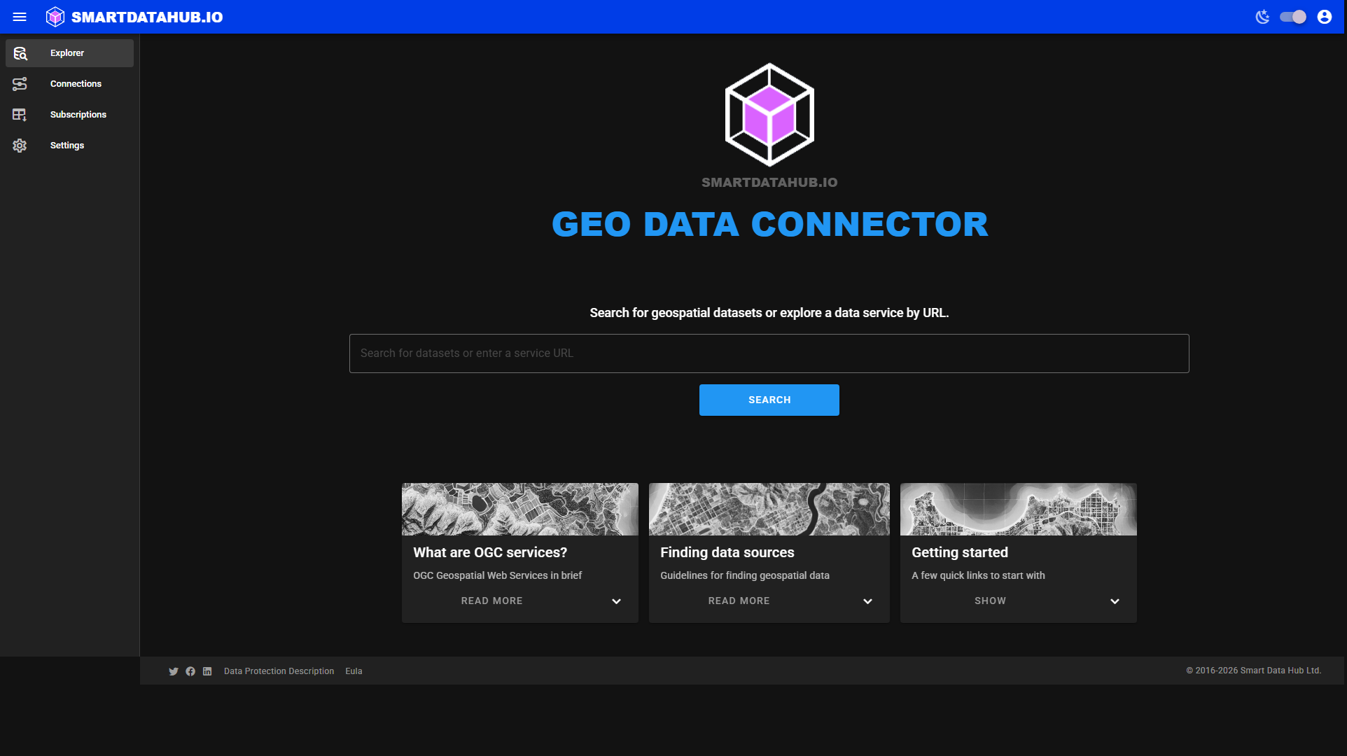 Home screen — search by keyword or explore by URL.
Search Results
Displays ranked results matching your keyword query. Each result shows the dataset title, description, data source, source type, and a relevance score. Click a result to open it directly: specific dataset results open the Dataset Details page immediately; catalogue or multi-dataset results open the Discovery or Service view so you can browse and choose.
Discovery
Shows what Geo Data Connector found at a given URL — a list of data sources, or the datasets within a single source. You can navigate the hierarchy (service → datasets) and click through to a dataset's detail page. Discovery is asynchronous: Geo Data Connector contacts the remote service and displays results when they are ready.
Dataset Details
Shows all available information about a single dataset: name, title, description, source type, column count, row count, coordinate reference system, and geographic extent. A map preview shows the dataset's geographic coverage. You subscribe to the dataset from this screen.
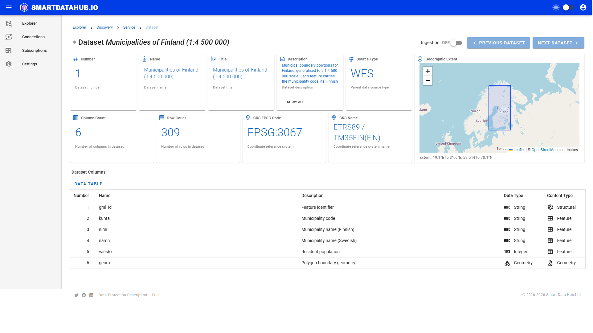
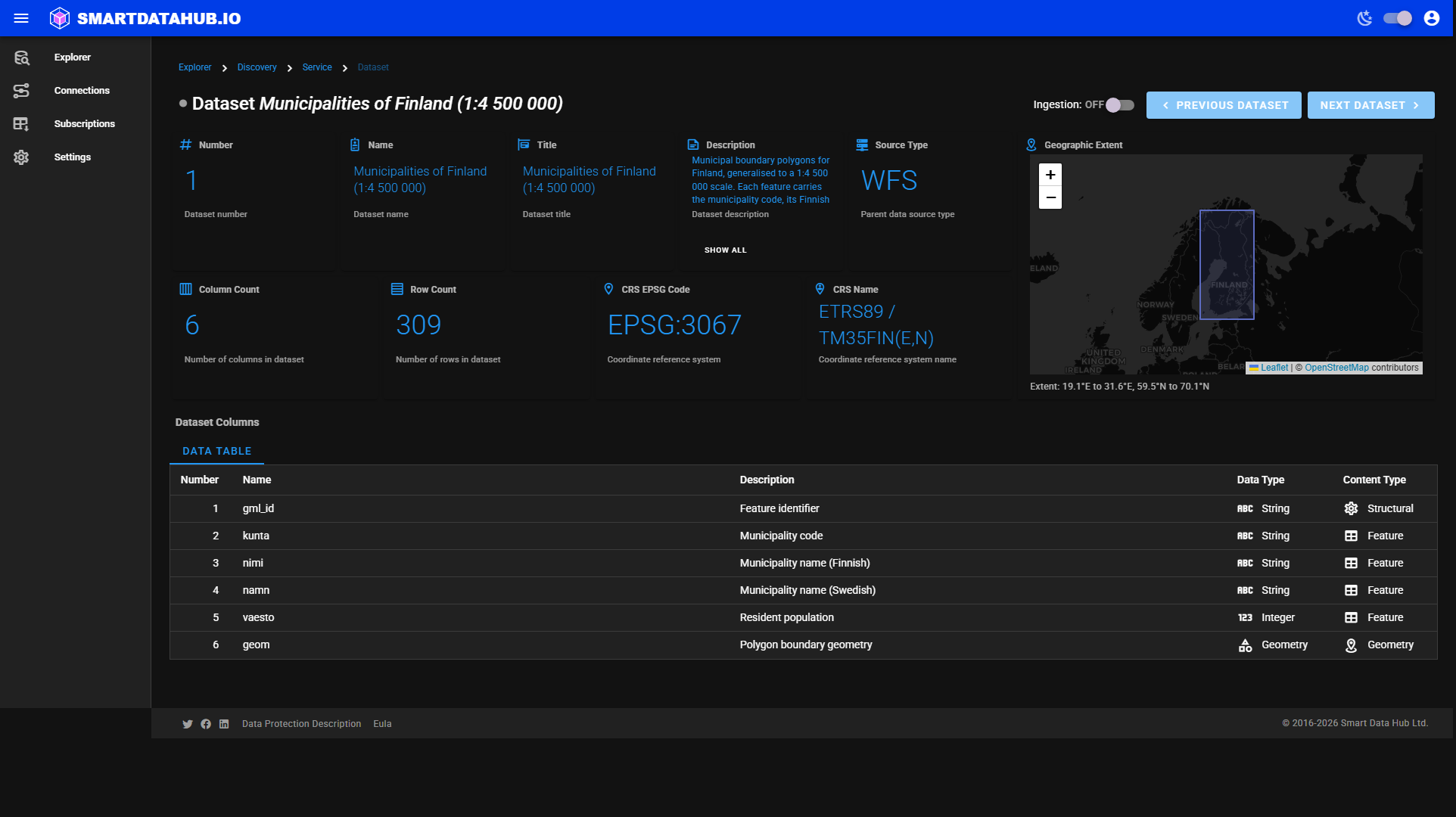 Dataset Details — metadata cards, geographic extent map, and subscribe controls.
Subscriptions
Lists all your subscriptions with their current status, schedule, download availability, and run history. From here you can enable or disable subscriptions, run them immediately, view their details, and delete them.
Subscription Details
Shows the full history of runs for a single subscription, together with its metadata (source type, data source, dataset, status, schedule). Download links appear here when a completed run has results available.
Connections
Stores saved credentials for authenticated data services (basic auth). Connections are available on the paid tier. Once saved, a connection is used automatically when Geo Data Connector detects a matching source URL during discovery.
Settings
Configure email notifications, view your tier and usage counters, upgrade to the paid tier, manage billing, and create Personal Access Tokens for API access.
Tiers
Geo Data Connector is available in two tiers. The free tier provides on-demand retrieval with caps on active subscriptions, daily runs, and rows per dataset. The paid tier removes those caps and adds recurring schedules and authenticated connections. See Tiers and Limits for the full comparison.