
Appearance
Searching for Data
The search feature lets you find geospatial datasets by keyword without needing to know the URL of a specific data service. Geo Data Connector searches across its indexed catalogue of data sources and returns ranked results.
How to search
On the home screen, type a keyword or phrase in the search bar and click Search. The button label changes from "Explore" to "Search" automatically when Geo Data Connector detects that you have typed a text query rather than a URL.
Queries must be at least 2 characters. There is no maximum, but focused queries tend to produce better results than very broad ones.
Search results
Matching datasets are displayed in ranked order on the Search Results screen. Each result shows:
- Title — the dataset's human-readable name.
- Description — a brief description of the dataset's content.
- Source — the name of the data service this dataset comes from.
- Type — the data source type (WFS, WCS, OGC API Features, etc.).
- Relevance — a relevance score (0–1) indicating how closely the result matches your query.
- Freshness — a small clock icon showing how up to date the result is: green indicates the dataset was checked on its expected schedule, orange indicates it's overdue for a check, and grey indicates freshness is unknown. Hover the icon to see the exact detail — "Checked {time}" when the dataset has been confirmed reachable/current, or "Added {time}" when it hasn't been checked yet since it was first added to the catalogue.
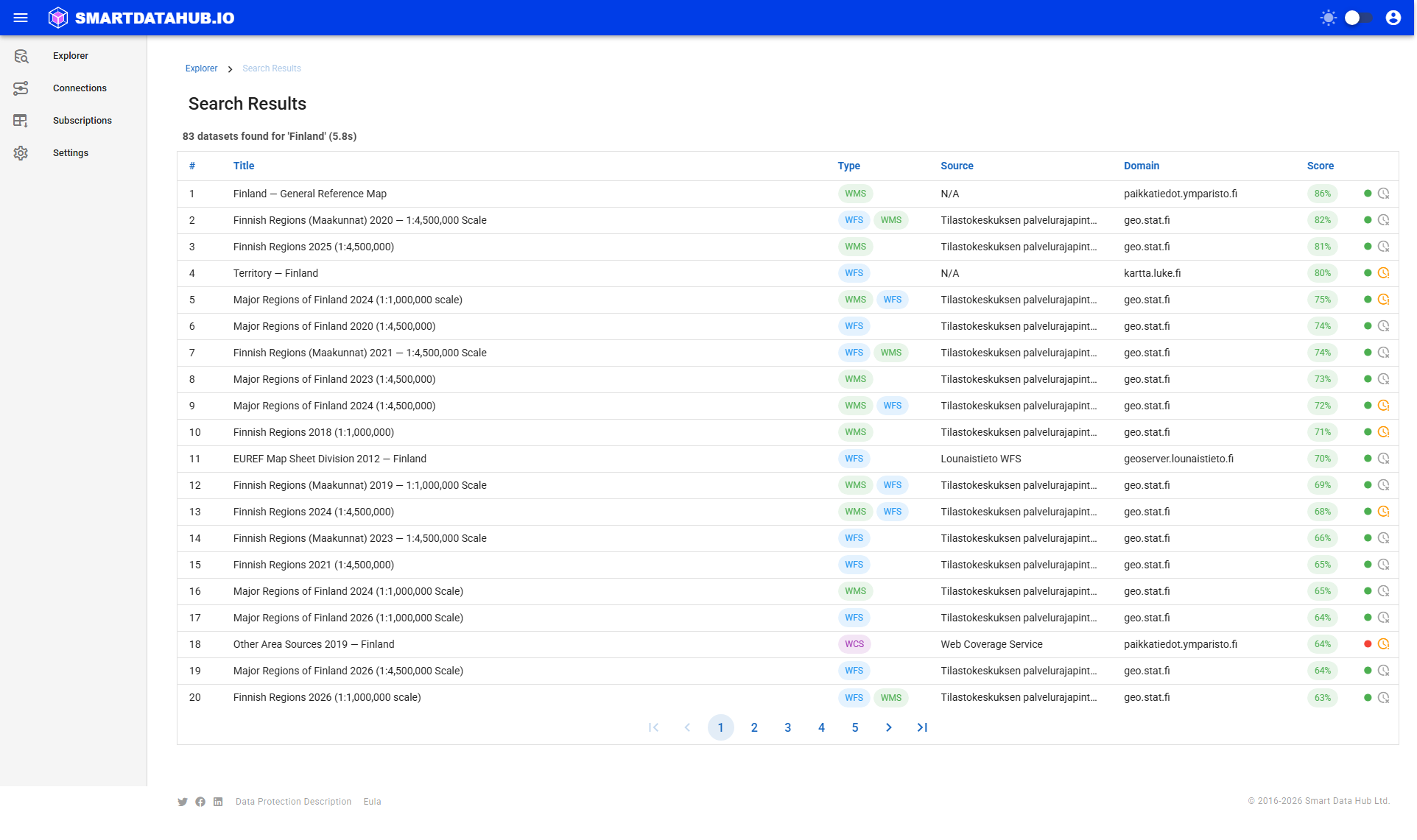
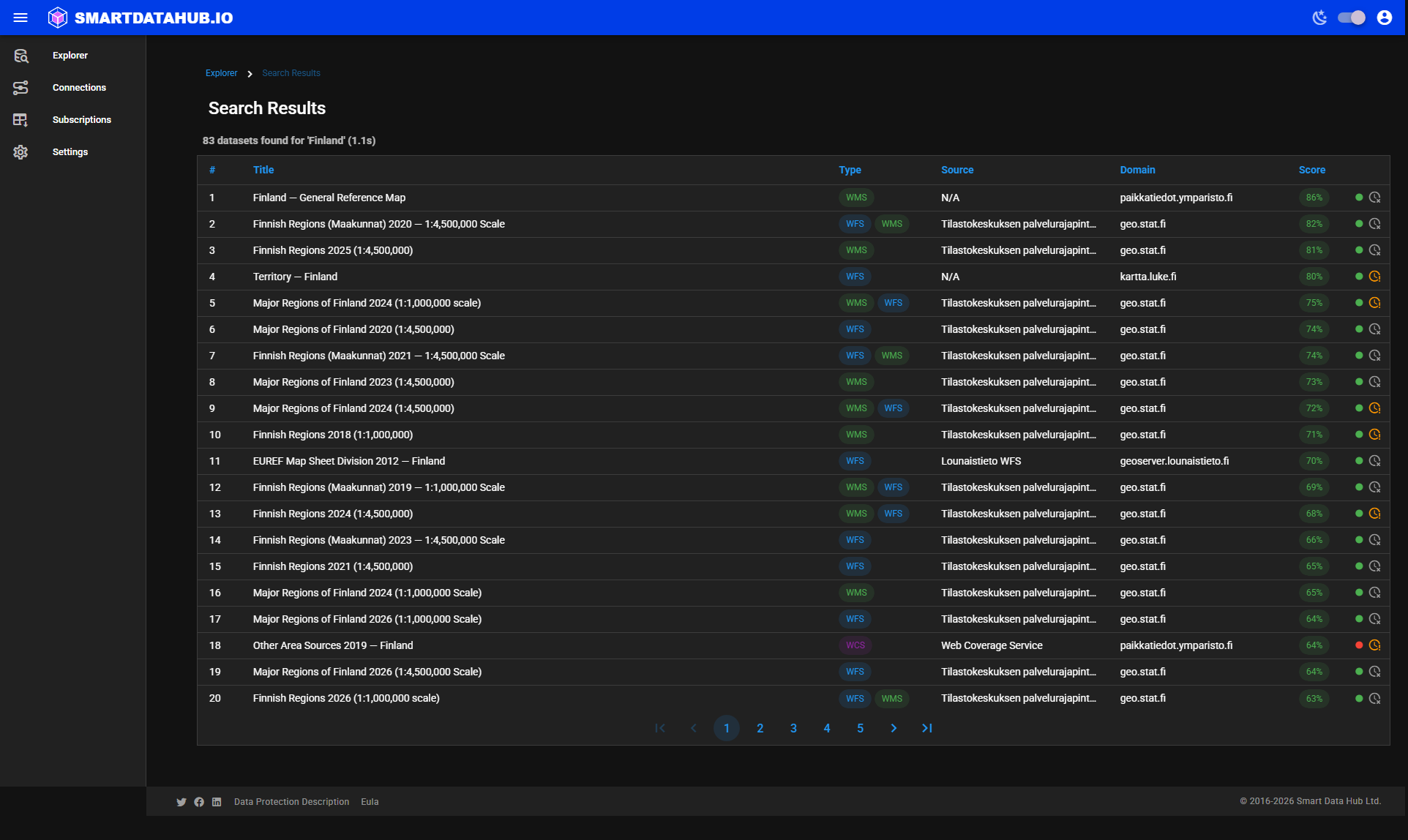 Search Results — ranked matches for the query, most relevant first.
Results are returned as a full ranked set — there are no additional pages to load.
Drilling into a result
Click any search result row to open the data it represents:
- If the result is a specific dataset — Geo Data Connector opens the Dataset Details page directly, so you can review the dataset and subscribe without any intermediate step.
- If the result is a data catalogue or a service with multiple datasets — Geo Data Connector opens the Discovery or Service view so you can browse the available datasets and choose the one you want.
In both cases, clicking is the only action needed — Geo Data Connector determines the appropriate view automatically.
Search tips
- Use domain terms: try terms like
"protected areas","land cover","water bodies","administrative boundaries", or"monitoring stations". - Include geography: adding a country or region name (e.g.,
"soil maps Germany") narrows results usefully. - Try synonyms: different data providers use different terminology for similar concepts.
- Switch to URL explore if you have a specific service URL — paste it into the search bar and click Explore instead.
What if no results are returned?
If the search returns no results:
- Try a different keyword or a more general term.
- Try exploring a specific service URL directly (paste it into the search bar and click Explore).
- Check the spelling of your query.
If the search fails with an error, see Troubleshooting.
Data responsibility
Search results surface data from third-party services. You are responsible for reviewing and complying with any licensing terms or access restrictions associated with any dataset you retrieve. Smart Data Hub provides access to these datasets — it does not grant any rights to the underlying data.